Here is some information that will help you match the terms to the correct areas on the map.
History
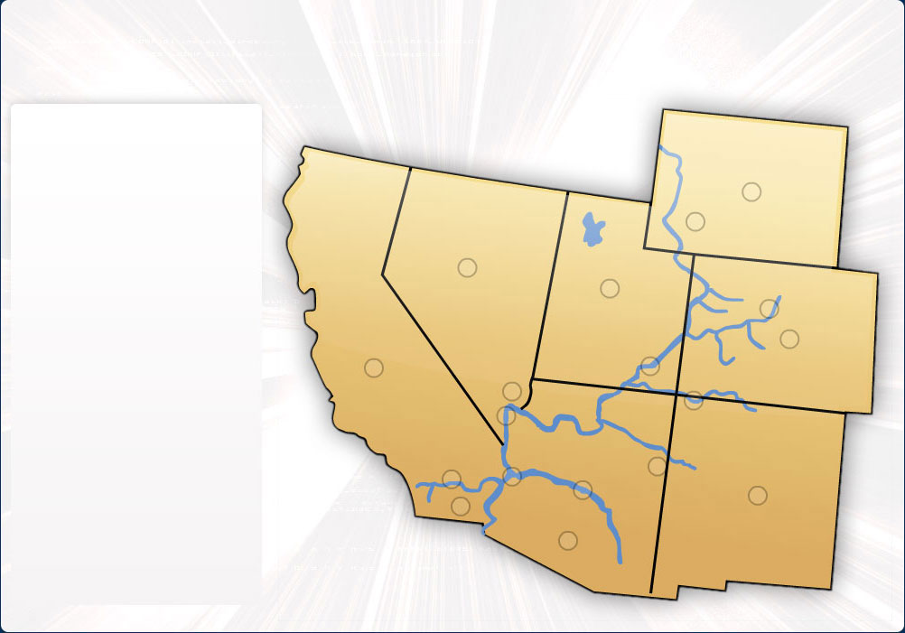
During the early 1900's, the seven states sharing the Colorado River Basin - Arizona, California, Nevada, New Mexico, Wyoming, Colorado, and Utah - debated for shares of Colorado River water. In 1922, representatives from the seven states and the United States government created the Colorado River Compact, which divided the states into upper and lower basins. Each basin had 7.5 million acre-feet of water annually to split amongst themselves.
Interstate political and legal disagreements over Colorado River water dominated the relationship among lower basin states throughout the next 22 years. Arizona was the last state to approve the compact in 1944, ensuring 2.8 million acre-feet of water per year for the state. The Boulder Canyon Project Act of 1928 provides California with 4.4 million acre-feet of water per year and Nevada with an annual allocation of 300,000 acre-feet. Arizona, California, and Nevada compromise the lower basin and are responsible for splitting the 7.5 million acre-feet allotment.
One of the most popular recreation areas in America, Lake Mead, is located in the lower basin state of Utah. As the Colorado River exits the Grand Canyon it enters Lake Mead created by the Hoover Dam. As the Colorado River travels south it meets the Central Arizona Project's aqueduct and the Colorado River Aqueduct. The Colorado River Aqueduct is 242 miles long and diverts water west over state lines and across the Mojave and Colorado Deserts. To the south of the aqueduct in California is the Salton Sea, an inland salt-water lake.
Colorado, Utah, New Mexico and Wyoming make up the four upper basin states. Colorado has the largest share of the of all the upper basin states. Next largest is Utah with 23 percent, Wyoming with 14 percent, and finally New Mexico with 11.25 percent. Located in southwest Colorado, the Big Thompson Project stores, regulates, and diverts water from the Colorado River on the western slope of the Continental Divide to the eastern slope of the Rocky Mountains. Also located in the upper basin is the Navajo Indian Irrigation Project. Built by the Bureau of Reclamation in Northwestern New Mexico, it is used exclusively for Navajo lands on or next to the Navajo Reservation.
CAP System
In many areas of Arizona, people pump more water from the ground than nature can replenish, so Central Arizona Project (CAP) was built to help conserve groundwater supplies. CAP's aqueduct system is 336 miles long and delivers 1.5 million acre-feet of water to its customers in Maricopa, Pima and Pinal counties annually. Central Arizona Project has more than 80 customers which fall into three groups: municipal, agricultural, and Indian users. Agriculture uses about eighty percent of the water resources in Arizona. CAP's vision includes delivering its full allocation of Colorado River water, 2.8 million acre-feet to central Arizona reliably, cost effectively and in an environmentally sound manner with the highest regard for employee safety and health, evolving public needs and customer satisfaction.
The CAP water intake at Havasu is located in a bay-like feature that is the mouth of the Bill Williams River. CAP then moves water through the system by lifting the water using pumping plants and then releasing the water to flow through the canal by gravity. The power to operate CAP's pumping plants comes primarily from the Navajo Generating Station. CAP stores water in Lake Pleasant, filling the lake during the winter months and releasing water during the dry, hot summer generating hydroelectricity. The lake level fluctuates 75 feet in an average year.
The Lower Santa Cruz Recharge Project was developed in a partnership between Central Arizona Project and Pima County Department of Transportation and Flood Control District (Pima County). The project is located in Marana. Mark Wilmer Pumping Plant contains six, 60,000 horsepower pumps which lift the water 824 feet up Buckskin Mountain. The Santa Cruz River flows out of the Santa Rita Mountains, into Mexico and back north towards Tucson. Sabino Creek flows out of the Santa Catalina Mountains into Tucson.
Continue
 Logout
 Info
Info 
 Instructions